 vesseltracker.com
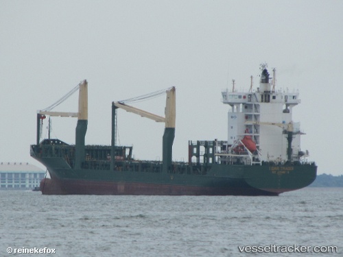
Vessel Msc Talia F IMO: 9308601, MMSI: 255805965 Container Ship
UTC, 38.52895, 16.95097, course: 44, speed: 9.3
UTC, 38.84134, 17.35309, course: 45, speed: 9.8
2026-02-28 14:23:22 UTC, 39.06930, 17.63980, course: 47, speed: 9.4
Live AIS position:
UTC. 24 nm E of CROTONE),
updated 2026-02-28 14:23:22 UTC.
Find the position of the vessel Msc Talia F on the map. The latter are known coordinates and path.
marine traffic ship tracker show on live map
The current position of vessel Msc Talia F is 39.06930 lat / 17.63980 lng. Updated: 2026-02-28 14:23:22 UTCCurrently sailing under the flag of Portugal
Msc Talia F built in 2005 year
Deadweight:
11815 tDetails:
Last coordinates of the vessel:
UTC, 38.28116, 16.65702, course: 47, speed: 9.8UTC, 38.52895, 16.95097, course: 44, speed: 9.3
UTC, 38.84134, 17.35309, course: 45, speed: 9.8
2026-02-28 14:23:22 UTC, 39.06930, 17.63980, course: 47, speed: 9.4