 vesseltracker.com
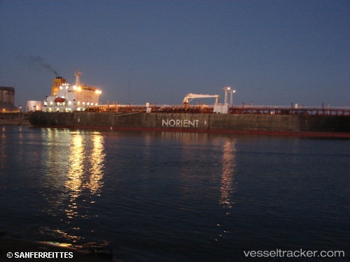
Vessel Mt Chamtang IMO: 9212400, MMSI: 357964000 Chemical Oil Products Tanker
Live AIS position:
UTC. 24 nm SE of Offshore Fujairah),
updated 2025-05-22 15:05:53 UTC.
Find the position of the vessel Mt Chamtang on the map. The latter are known coordinates and path.
marine traffic ship tracker show on live map
The current position of vessel Mt Chamtang is 25.03075 lat / 57.02848 lng. Updated: 2025-05-22 15:05:53 UTCCurrently sailing under the flag of Panama
Mt Chamtang built in 2000 year
Deadweight:
35775 tDetails:
Last coordinates of the vessel:
2025-05-22 15:05:53 UTC, 25.03075, 57.02848, course: 299, speed: 0.1