 vesseltracker.com
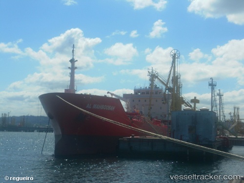
Vessel GALBOT IMO: 9555084, MMSI: 256594000 Oil/Chemical Tanker
UTC, 38.22333, -9.20333, course: -1, speed: 10
UTC, 38.05667, -9.05667, course: -1, speed: 11
2026-02-27 13:32:40 UTC, 37.93499, -8.88349, course: 359, speed: 2.3
Live AIS position:
UTC. Near Vila Nova de Santo André),
updated 2026-02-27 13:32:40 UTC.
Find the position of the vessel GALBOT on the map. The latter are known coordinates and path.
marine traffic ship tracker show on live map
The current position of vessel GALBOT is 37.93499 lat / -8.88349 lng. Updated: 2026-02-27 13:32:40 UTCCurrently sailing under the flag of Malta
Details:
Last coordinates of the vessel:
UTC, 38.47721, -9.38538, course: 179, speed: 10.4UTC, 38.22333, -9.20333, course: -1, speed: 10
UTC, 38.05667, -9.05667, course: -1, speed: 11
2026-02-27 13:32:40 UTC, 37.93499, -8.88349, course: 359, speed: 2.3