 vesseltracker.com
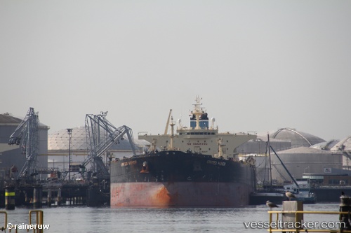
Vessel Mt Leo IMO: 9419151, MMSI: 636018738 Crude Oil Tanker
Live AIS position:
UTC. Near Ocean Grove),
updated 2026-01-13 11:40:22 UTC.
Find the position of the vessel Mt Leo on the map. The latter are known coordinates and path.
marine traffic ship tracker show on live map
The current position of vessel Mt Leo is -38.34406 lat / 144.58717 lng. Updated: 2026-01-13 11:40:22 UTCCurrently sailing under the flag of Liberia
Mt Leo built in 2010 year
Deadweight:
112795 tDetails:
Last coordinates of the vessel:
2026-01-13 11:40:22 UTC, -38.34406, 144.58717, course: 20, speed: 15.7