 vesseltracker.com
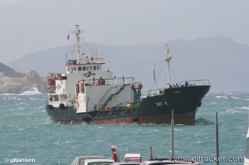
Vessel Mt Turu IMO: 8408777, MMSI: 354863000 Oil Products Tanker
UTC, 6.05167, 91.31667, course: -1, speed: 13
UTC, 6.04833, 90.65833, course: -1, speed: 13
2026-02-28 01:06:35 UTC, 6.03333, 90.49166, course: -1, speed: 13
Live AIS position:
UTC. 269 nm E of Abakaliki),
updated 2026-02-28 01:06:35 UTC.
Find the position of the vessel Mt Turu on the map. The latter are known coordinates and path.
marine traffic ship tracker show on live map
The current position of vessel Mt Turu is 6.03333 lat / 90.49166 lng. Updated: 2026-02-28 01:06:35 UTCDetails:
Last coordinates of the vessel:
UTC, 6.05833, 91.54667, course: -1, speed: 12UTC, 6.05167, 91.31667, course: -1, speed: 13
UTC, 6.04833, 90.65833, course: -1, speed: 13
2026-02-28 01:06:35 UTC, 6.03333, 90.49166, course: -1, speed: 13