 vesseltracker.com
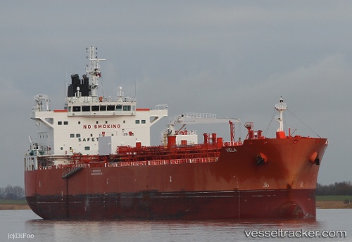
Vessel VELA IMO: 9682461, MMSI: 563271300 Tanker B
UTC, 35.61832, -47.94988, course: 54, speed: 11.9
UTC, 35.75352, -47.71613, course: 54, speed: 11.8
2026-02-28 07:41:03 UTC, 35.99139, -47.29532, course: 53, speed: 11.4
Live AIS position:
UTC. 158 nm E of Benahavis),
updated 2026-02-28 07:41:03 UTC.
Find the position of the vessel VELA on the map. The latter are known coordinates and path.
marine traffic ship tracker show on live map
The current position of vessel VELA is 35.99139 lat / -47.29532 lng. Updated: 2026-02-28 07:41:03 UTCCurrently sailing under the flag of Singapore
Details:
Last coordinates of the vessel:
UTC, 35.36058, -48.42498, course: 55, speed: 12.2UTC, 35.61832, -47.94988, course: 54, speed: 11.9
UTC, 35.75352, -47.71613, course: 54, speed: 11.8
2026-02-28 07:41:03 UTC, 35.99139, -47.29532, course: 53, speed: 11.4