 vesseltracker.com
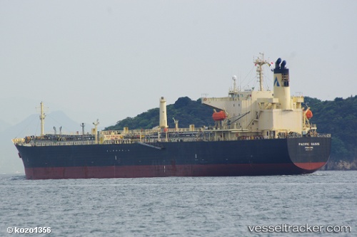
Vessel IRA IMO: 9270749, MMSI: 613407300 Crude Oil Tanker
UTC, 43.01748, 35.95688, course: -1, speed: 1.7
UTC, 43.06555, 35.98998, course: -1, speed: 1.7
2026-02-27 13:46:45 UTC, 43.13063, 36.03733, course: -1, speed: 1.1
Live AIS position:
UTC. 78 nm NE of Sinop),
updated 2026-02-27 13:46:45 UTC.
Find the position of the vessel IRA on the map. The latter are known coordinates and path.
marine traffic ship tracker show on live map
The current position of vessel IRA is 43.13063 lat / 36.03733 lng. Updated: 2026-02-27 13:46:45 UTCCurrently sailing under the flag of Cameroon
Details:
Last coordinates of the vessel:
UTC, 43.20293, 36.40753, course: 187, speed: 1.4UTC, 43.01748, 35.95688, course: -1, speed: 1.7
UTC, 43.06555, 35.98998, course: -1, speed: 1.7
2026-02-27 13:46:45 UTC, 43.13063, 36.03733, course: -1, speed: 1.1