 vesseltracker.com
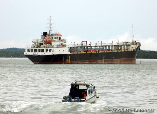
Vessel SS NAVIGATOR IMO: 9819040, MMSI: 572638220 Tanker
UTC, 21.93206, 64.16556, course: -1, speed: 5.5
UTC, 21.94460, 64.08197, course: -1, speed: 5.5
2026-02-25 14:22:28 UTC, 21.94460, 64.08197, course: -1, speed: 5.5
Live AIS position:
UTC. 227 nm SW of Keti Bandar),
updated 2026-02-25 14:22:28 UTC.
Find the position of the vessel SS NAVIGATOR on the map. The latter are known coordinates and path.
marine traffic ship tracker show on live map
The current position of vessel SS NAVIGATOR is 21.94460 lat / 64.08197 lng. Updated: 2026-02-25 14:22:28 UTCCurrently sailing under the flag of Tuvalu
Details:
Last coordinates of the vessel:
UTC, 21.65822, 65.89316, course: -1, speed: 6.4UTC, 21.93206, 64.16556, course: -1, speed: 5.5
UTC, 21.94460, 64.08197, course: -1, speed: 5.5
2026-02-25 14:22:28 UTC, 21.94460, 64.08197, course: -1, speed: 5.5