 vesseltracker.com
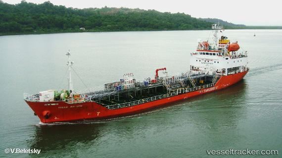
Vessel Mt.sinar Maluku IMO: 9297709, MMSI: 525009346 Chemical Oil Products Tanker
Live AIS position:
UTC. 100 nm NW of Masi-Manimba),
updated 2025-12-16 18:06:51 UTC.
Find the position of the vessel Mt.sinar Maluku on the map. The latter are known coordinates and path.
marine traffic ship tracker show on live map
The current position of vessel Mt.sinar Maluku is -3.69341 lat / 16.63718 lng. Updated: 2025-12-16 18:06:51 UTCDetails:
Last coordinates of the vessel:
2025-12-16 18:06:51 UTC, -3.69341, 16.63718, course: 255, speed: 3.6