 vesseltracker.com
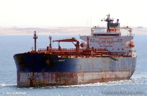
Vessel Muskie IMO: 9256638, MMSI: 538005763 Crude Oil Tanker
Live AIS position:
UTC. 158 nm SE of Suursaq),
updated 2025-12-15 05:22:05 UTC.
Find the position of the vessel Muskie on the map. The latter are known coordinates and path.
marine traffic ship tracker show on live map
The current position of vessel Muskie is 78.43644 lat / -60.40768 lng. Updated: 2025-12-15 05:22:05 UTCDetails:
Last coordinates of the vessel:
2025-12-15 05:22:05 UTC, 78.43644, -60.40768, course: 258, speed: 83.9