 vesseltracker.com
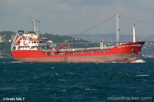
Vessel Mustafa Okan IMO: 9119464, MMSI: 271007393 Chemical Oil Products Tanker
Live AIS position:
UTC. Near TUZLA),
updated 2022-10-12 10:49:16 UTC.
Find the position of the vessel Mustafa Okan on the map. The latter are known coordinates and path.
marine traffic ship tracker show on live map
The current position of vessel Mustafa Okan is 40.82903 lat / 29.20532 lng. Updated: 2022-10-12 10:49:16 UTCCurrently sailing under the flag of Turkey
Mustafa Okan built in 2000 year
Deadweight:
2684 tDetails:
Last coordinates of the vessel:
2022-10-12 10:49:16 UTC, 40.82903, 29.20532, course: 34, speed: 0.1