 vesseltracker.com
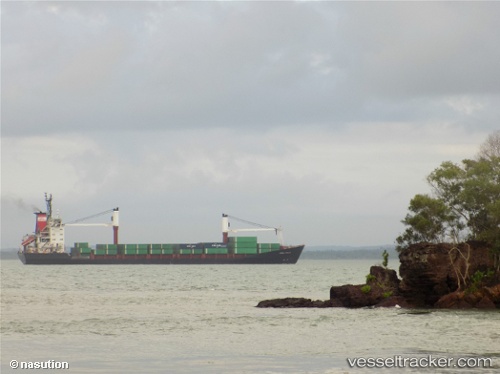
Vessel Mv Armada Purnama IMO: 9101807, MMSI: 525005186 Container Ship
Live AIS position:
UTC. 136 nm W of Godhavn),
updated 2025-01-20 22:17:08 UTC.
Find the position of the vessel Mv Armada Purnama on the map. The latter are known coordinates and path.
marine traffic ship tracker show on live map
The current position of vessel Mv Armada Purnama is 69.20340 lat / -59.90187 lng. Updated: 2025-01-20 22:17:08 UTCCurrently sailing under the flag of Indonesia
Details:
Last coordinates of the vessel:
2025-01-20 22:17:08 UTC, 69.20340, -59.90187, course: -1, speed: 3.9