 vesseltracker.com
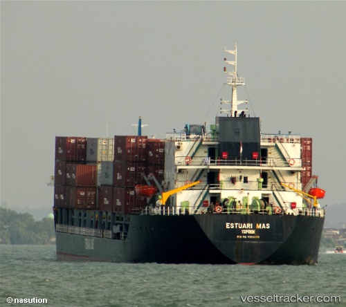
Vessel Mv Estuari Mas IMO: 9558488, MMSI: 525019465 Container Ship
UTC, 0.67629, 101.64256, course: -1, speed: 0
UTC, 0.67628, 101.64255, course: -1, speed: 0
2026-02-22 21:09:20 UTC, 0.67628, 101.64255, course: -1, speed: 0
Live AIS position:
UTC. Near PERAWANG),
updated 2026-02-22 21:09:20 UTC.
Find the position of the vessel Mv Estuari Mas on the map. The latter are known coordinates and path.
marine traffic ship tracker show on live map
The current position of vessel Mv Estuari Mas is 0.67628 lat / 101.64255 lng. Updated: 2026-02-22 21:09:20 UTCCurrently sailing under the flag of Indonesia
Details:
Last coordinates of the vessel:
UTC, 0.67630, 101.64254, course: -1, speed: 0UTC, 0.67629, 101.64256, course: -1, speed: 0
UTC, 0.67628, 101.64255, course: -1, speed: 0
2026-02-22 21:09:20 UTC, 0.67628, 101.64255, course: -1, speed: 0