 vesseltracker.com
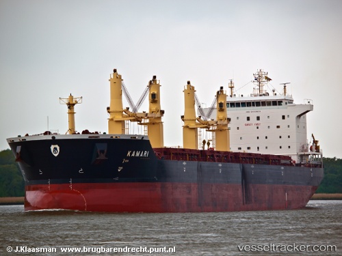
Vessel Mv Kamari IMO: 9412634, MMSI: 538007192 Bulk Carrier
UTC, 29.68502, 122.89261, course: 205, speed: 13.4
UTC, 29.24941, 122.75862, course: 191, speed: 12.9
2026-02-22 13:53:23 UTC, 28.80333, 122.54167, course: -1, speed: 11
Live AIS position:
UTC. 37 nm NE of Wenling Longmen Port),
updated 2026-02-22 13:53:23 UTC.
Find the position of the vessel Mv Kamari on the map. The latter are known coordinates and path.
marine traffic ship tracker show on live map
The current position of vessel Mv Kamari is 28.80333 lat / 122.54167 lng. Updated: 2026-02-22 13:53:23 UTCDetails:
Last coordinates of the vessel:
UTC, 29.89890, 122.98385, course: 202, speed: 13.1UTC, 29.68502, 122.89261, course: 205, speed: 13.4
UTC, 29.24941, 122.75862, course: 191, speed: 12.9
2026-02-22 13:53:23 UTC, 28.80333, 122.54167, course: -1, speed: 11