 vesseltracker.com
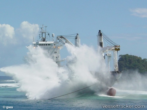
Vessel Mv. Red Rock IMO: 9197026, MMSI: 525025069 Multi Purpose Carrier
UTC, -3.17301, 117.50952, course: 47, speed: 10.3
UTC, -2.84667, 117.80833, course: -1, speed: 10
2026-02-22 01:24:10 UTC, -2.65333, 117.98333, course: -1, speed: 10
Live AIS position:
UTC. 106 nm SE of Senipah Oil Terminal),
updated 2026-02-22 01:24:10 UTC.
Find the position of the vessel Mv. Red Rock on the map. The latter are known coordinates and path.
marine traffic ship tracker show on live map
The current position of vessel Mv. Red Rock is -2.65333 lat / 117.98333 lng. Updated: 2026-02-22 01:24:10 UTCDetails:
Last coordinates of the vessel:
UTC, -3.41500, 117.28667, course: -1, speed: 10UTC, -3.17301, 117.50952, course: 47, speed: 10.3
UTC, -2.84667, 117.80833, course: -1, speed: 10
2026-02-22 01:24:10 UTC, -2.65333, 117.98333, course: -1, speed: 10