 vesseltracker.com
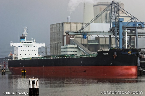
Vessel Myra IMO: 9418456, MMSI: 538006335 Bulk Carrier
UTC, -17.67001, 58.81820, course: 47, speed: 12.5
UTC, -17.43167, 59.08500, course: -1, speed: 11
2026-02-22 13:30:37 UTC, -17.21666, 59.39167, course: -1, speed: 11
Live AIS position:
UTC. 195 nm NE of Cap Malheureux),
updated 2026-02-22 13:30:37 UTC.
Find the position of the vessel Myra on the map. The latter are known coordinates and path.
marine traffic ship tracker show on live map
The current position of vessel Myra is -17.21666 lat / 59.39167 lng. Updated: 2026-02-22 13:30:37 UTCDetails:
Last coordinates of the vessel:
UTC, -18.00167, 58.41667, course: -1, speed: 12UTC, -17.67001, 58.81820, course: 47, speed: 12.5
UTC, -17.43167, 59.08500, course: -1, speed: 11
2026-02-22 13:30:37 UTC, -17.21666, 59.39167, course: -1, speed: 11