 vesseltracker.com
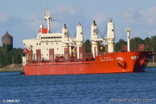
Vessel NEW SIHAM IMO: 9197882, MMSI: 518100278 Bulk Carrier
UTC, 36.39093, 22.05911, course: 110, speed: 8.7
UTC, 36.34039, 22.49105, course: 104, speed: 6.6
2026-02-15 03:36:30 UTC, 36.35771, 22.78804, course: 99, speed: 10.9
Live AIS position:
UTC. Near Agía Pelagía),
updated 2026-02-15 03:36:30 UTC.
Find the position of the vessel NEW SIHAM on the map. The latter are known coordinates and path.
marine traffic ship tracker show on live map
The current position of vessel NEW SIHAM is 36.35771 lat / 22.78804 lng. Updated: 2026-02-15 03:36:30 UTCCurrently sailing under the flag of Cook islands
NEW SIHAM built in 1999 year
Deadweight:
31025 tDetails:
Last coordinates of the vessel:
UTC, 36.46038, 21.72989, course: 112, speed: 9.3UTC, 36.39093, 22.05911, course: 110, speed: 8.7
UTC, 36.34039, 22.49105, course: 104, speed: 6.6
2026-02-15 03:36:30 UTC, 36.35771, 22.78804, course: 99, speed: 10.9