 vesseltracker.com
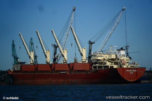
Vessel Nodus IMO: 9497464, MMSI: 636019688 Bulk Carrier
UTC, 9.85863, -14.34624, course: -1, speed: 51.2
2026-02-03 12:29:16 UTC, 9.85863, -14.34624, course: -1, speed: 51.2
Live AIS position:
UTC. 42 nm NW of Conakry),
updated 2026-02-03 12:29:16 UTC.
Find the position of the vessel Nodus on the map. The latter are known coordinates and path.
marine traffic ship tracker show on live map
The current position of vessel Nodus is 9.85863 lat / -14.34624 lng. Updated: 2026-02-03 12:29:16 UTCCurrently sailing under the flag of Liberia
Details:
Last coordinates of the vessel:
UTC, 9.85863, -14.34624, course: -1, speed: 51.2UTC, 9.85863, -14.34624, course: -1, speed: 51.2
2026-02-03 12:29:16 UTC, 9.85863, -14.34624, course: -1, speed: 51.2