 vesseltracker.com
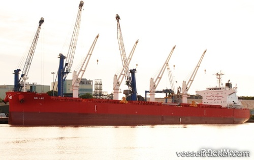
Vessel '255806487' IMO: 9705146, MMSI: 255806487
UTC, -2.19333, -30.54333, course: -1, speed: 12
UTC, -1.86844, -30.91381, course: 310, speed: 12.4
2026-02-12 12:32:21 UTC, -1.48333, -31.34833, course: -1, speed: 12
Live AIS position:
UTC. 155 nm NE of Fernando De Noronha),
updated 2026-02-12 12:32:21 UTC.
Find the position of the vessel '255806487' on the map. The latter are known coordinates and path.
marine traffic ship tracker show on live map
The current position of vessel '255806487' is -1.48333 lat / -31.34833 lng. Updated: 2026-02-12 12:32:21 UTCDetails:
Last coordinates of the vessel:
UTC, -2.39521, -30.31863, course: 311, speed: 12.4UTC, -2.19333, -30.54333, course: -1, speed: 12
UTC, -1.86844, -30.91381, course: 310, speed: 12.4
2026-02-12 12:32:21 UTC, -1.48333, -31.34833, course: -1, speed: 12