 vesseltracker.com
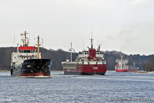
Vessel NORMAN IMO: 9361342, MMSI: 304491000 General Cargo Ship
UTC, 53.42625, 14.57766, course: 196, speed: 0
UTC, 53.42625, 14.57763, course: 196, speed: 0
2026-02-12 12:19:13 UTC, 53.42623, 14.57764, course: 195, speed: 0
Live AIS position:
UTC. Near Szczecin),
updated 2026-02-12 12:19:13 UTC.
Find the position of the vessel NORMAN on the map. The latter are known coordinates and path.
marine traffic ship tracker show on live map
The current position of vessel NORMAN is 53.42623 lat / 14.57764 lng. Updated: 2026-02-12 12:19:13 UTCCurrently sailing under the flag of Antigua and Barbuda
NORMAN built in 2007 year
Deadweight:
4537 tDetails:
Last coordinates of the vessel:
UTC, 53.42625, 14.57766, course: 195, speed: 0UTC, 53.42625, 14.57766, course: 196, speed: 0
UTC, 53.42625, 14.57763, course: 196, speed: 0
2026-02-12 12:19:13 UTC, 53.42623, 14.57764, course: 195, speed: 0