 vesseltracker.com
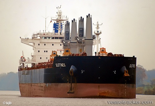
Vessel NORMA IMO: 9490739, MMSI: 636021631 Bulk Carrier
UTC, 3.80697, -77.19960, course: 238, speed: 10
UTC, 3.66762, -77.61382, course: 233, speed: 9.8
2026-02-13 16:22:50 UTC, 3.47243, -77.87832, course: 234, speed: 10.3
Live AIS position:
UTC. 32 nm NW of Lopez de Micay Apt/Micay),
updated 2026-02-13 16:22:50 UTC.
Find the position of the vessel NORMA on the map. The latter are known coordinates and path.
marine traffic ship tracker show on live map
The current position of vessel NORMA is 3.47243 lat / -77.87832 lng. Updated: 2026-02-13 16:22:50 UTCCurrently sailing under the flag of Liberia
NORMA built in 2010 year
Deadweight:
58018 tDetails:
Last coordinates of the vessel:
UTC, 3.90458, -77.08952, course: 313, speed: 0UTC, 3.80697, -77.19960, course: 238, speed: 10
UTC, 3.66762, -77.61382, course: 233, speed: 9.8
2026-02-13 16:22:50 UTC, 3.47243, -77.87832, course: 234, speed: 10.3