 vesseltracker.com
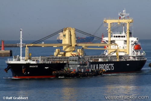
Vessel Nagato IMO: 9665877, MMSI: 354959000 Bulk Carrier
UTC, 1.03972, 106.46185, course: 42, speed: 10.2
UTC, 1.16383, 106.57279, course: 43, speed: 10.2
2026-02-10 07:58:06 UTC, 1.57069, 106.92514, course: 40, speed: 10
Live AIS position:
UTC. 108 nm SE of Terempa),
updated 2026-02-10 07:58:06 UTC.
Find the position of the vessel Nagato on the map. The latter are known coordinates and path.
marine traffic ship tracker show on live map
The current position of vessel Nagato is 1.57069 lat / 106.92514 lng. Updated: 2026-02-10 07:58:06 UTCDetails:
Last coordinates of the vessel:
UTC, 0.70429, 106.17306, course: 40, speed: 10.4UTC, 1.03972, 106.46185, course: 42, speed: 10.2
UTC, 1.16383, 106.57279, course: 43, speed: 10.2
2026-02-10 07:58:06 UTC, 1.57069, 106.92514, course: 40, speed: 10