 vesseltracker.com
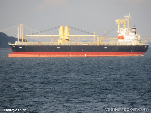
Vessel Nanbu IMO: 9675315, MMSI: 357081000 General Cargo Ship
UTC, 18.24286, 112.12997, course: 41, speed: 10.4
UTC, 18.24286, 112.12997, course: 41, speed: 10.4
2026-02-12 18:23:17 UTC, 18.60591, 112.44012, course: 42, speed: 9.7
Live AIS position:
UTC. 102 nm SE of Honghai),
updated 2026-02-12 18:23:17 UTC.
Find the position of the vessel Nanbu on the map. The latter are known coordinates and path.
marine traffic ship tracker show on live map
The current position of vessel Nanbu is 18.60591 lat / 112.44012 lng. Updated: 2026-02-12 18:23:17 UTCDetails:
Last coordinates of the vessel:
UTC, 17.96661, 111.89696, course: 41, speed: 9.7UTC, 18.24286, 112.12997, course: 41, speed: 10.4
UTC, 18.24286, 112.12997, course: 41, speed: 10.4
2026-02-12 18:23:17 UTC, 18.60591, 112.44012, course: 42, speed: 9.7