 vesseltracker.com
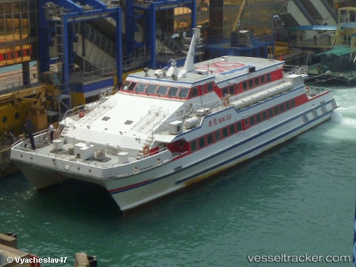
Vessel Nangui IMO: 9048172, MMSI: 412460320 Passenger Ship
Live AIS position:
UTC. Near GUISHAN),
updated 2026-01-13 09:04:13 UTC.
Find the position of the vessel Nangui on the map. The latter are known coordinates and path.
marine traffic ship tracker show on live map
The current position of vessel Nangui is 22.11946 lat / 113.90696 lng. Updated: 2026-01-13 09:04:13 UTCDetails:
Last coordinates of the vessel:
2026-01-13 09:04:13 UTC, 22.11946, 113.90696, course: 246, speed: 57.5