 vesseltracker.com
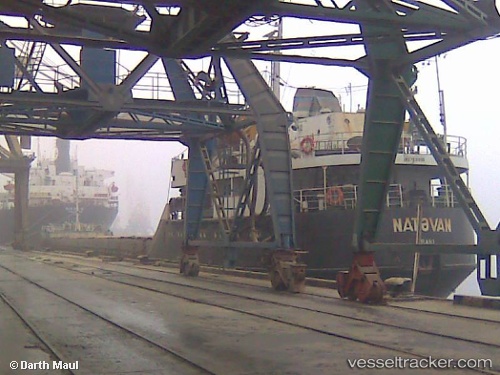
Vessel Natavan IMO: 7831800, MMSI: 423047100 General Cargo Ship
UTC, 40.27243, 50.17338, course: 209, speed: 0.2
UTC, 40.27243, 50.17338, course: 209, speed: 0.2
2026-02-14 00:40:22 UTC, 40.27243, 50.17338, course: 209, speed: 0.2
Live AIS position:
UTC. 13 nm SE of Heydar Aliyev International Apt.),
updated 2026-02-14 00:40:22 UTC.
Find the position of the vessel Natavan on the map. The latter are known coordinates and path.
marine traffic ship tracker show on live map
The current position of vessel Natavan is 40.27243 lat / 50.17338 lng. Updated: 2026-02-14 00:40:22 UTCCurrently sailing under the flag of Azerbaijan
Natavan built in 2008 year
Deadweight:
5468 tDetails:
Last coordinates of the vessel:
UTC, 40.27252, 50.17328, course: 211, speed: 0UTC, 40.27243, 50.17338, course: 209, speed: 0.2
UTC, 40.27243, 50.17338, course: 209, speed: 0.2
2026-02-14 00:40:22 UTC, 40.27243, 50.17338, course: 209, speed: 0.2