 vesseltracker.com
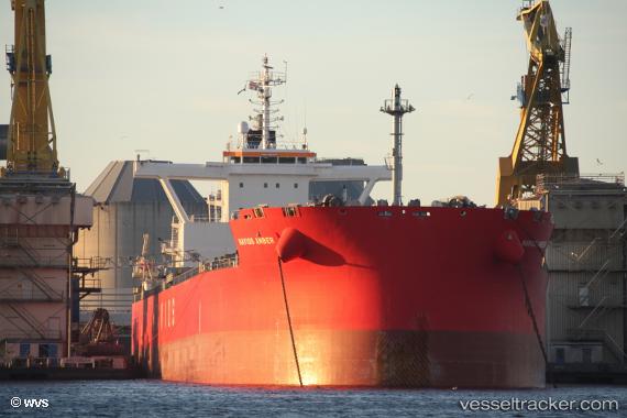
Vessel Navios Amber IMO: 9736341, MMSI: 351539000 Bulk Carrier
UTC, -15.81440, -37.14940, course: 200, speed: 13.1
UTC, -16.33375, -37.37400, course: 204, speed: 13.4
2026-02-15 18:35:55 UTC, -16.86729, -37.59817, course: 206, speed: 13.5
Live AIS position:
UTC. 97 nm SE of Belmonte),
updated 2026-02-15 18:35:55 UTC.
Find the position of the vessel Navios Amber on the map. The latter are known coordinates and path.
marine traffic ship tracker show on live map
The current position of vessel Navios Amber is -16.86729 lat / -37.59817 lng. Updated: 2026-02-15 18:35:55 UTCDetails:
Last coordinates of the vessel:
UTC, -15.54848, -37.03527, course: 202, speed: 13.2UTC, -15.81440, -37.14940, course: 200, speed: 13.1
UTC, -16.33375, -37.37400, course: 204, speed: 13.4
2026-02-15 18:35:55 UTC, -16.86729, -37.59817, course: 206, speed: 13.5