 vesseltracker.com
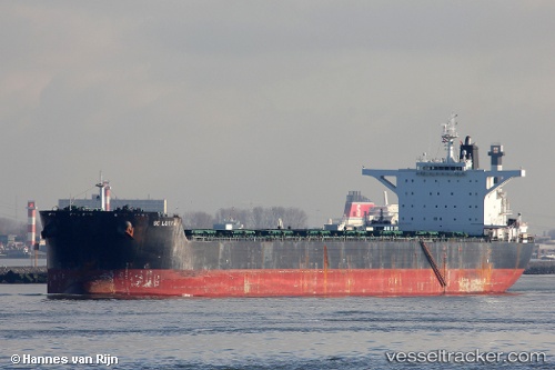
Vessel Nea Ionia IMO: 9425461, MMSI: 636019036 Bulk Carrier
UTC, 23.27167, 122.83667, course: -1, speed: 12
UTC, 23.59078, 122.99447, course: 20, speed: 12.4
2026-02-15 21:48:10 UTC, 23.92268, 123.13700, course: 19, speed: 12.4
Live AIS position:
UTC. 36 nm W of Hateruma),
updated 2026-02-15 21:48:10 UTC.
Find the position of the vessel Nea Ionia on the map. The latter are known coordinates and path.
marine traffic ship tracker show on live map
The current position of vessel Nea Ionia is 23.92268 lat / 123.13700 lng. Updated: 2026-02-15 21:48:10 UTCDetails:
Last coordinates of the vessel:
UTC, 22.74994, 122.58229, course: 22, speed: 11.8UTC, 23.27167, 122.83667, course: -1, speed: 12
UTC, 23.59078, 122.99447, course: 20, speed: 12.4
2026-02-15 21:48:10 UTC, 23.92268, 123.13700, course: 19, speed: 12.4