 vesseltracker.com
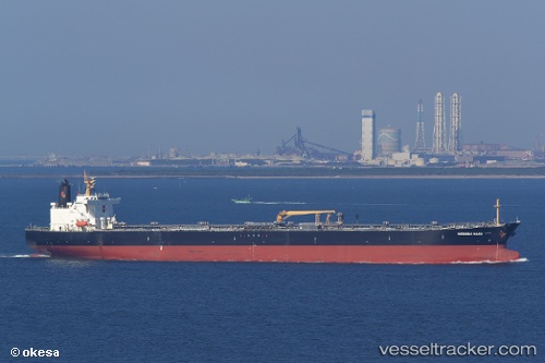
Find the position of the vessel 'AMARIN INDAH' on the map. The latter are known coordinates and path.
marine traffic ship tracker show on live map
The current position of vessel 'AMARIN INDAH' is -2.06337 lat / 105.07 lng. Updated: 2024-04-26 10:01:53 UTCPayload_mass:
106650 tonneGross tonnage:
58225Service entry:
2005-01-01T00:00:00ZManufacturer:
Koyo Dockyard (Japanese yard)
Details:
Last coordinates of the vessel:
UTC, -2.0619, 105.07, course: 332, speed: 0UTC, -2.06335, 105.07, course: 341, speed: 0
UTC, -2.06337, 105.07, course: 337, speed: 0
2024-04-26 10:01:53 UTC, -2.06337, 105.07, course: 343, speed: 0