 vesseltracker.com
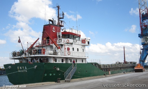
Vessel Nemesis IMO: 8102799, MMSI: 240179400 General Cargo Ship
UTC, 38.01337, 22.76495, course: 344, speed: 1.1
UTC, 38.01167, 22.76667, course: -1, speed: 0
2026-02-16 17:34:05 UTC, 38.01167, 22.76667, course: -1, speed: 0
Live AIS position:
UTC. Near Kiato),
updated 2026-02-16 17:34:05 UTC.
Find the position of the vessel Nemesis on the map. The latter are known coordinates and path.
marine traffic ship tracker show on live map
The current position of vessel Nemesis is 38.01167 lat / 22.76667 lng. Updated: 2026-02-16 17:34:05 UTCCurrently sailing under the flag of Greece
Nemesis built in 1983 year
Deadweight:
3123 tDetails:
Last coordinates of the vessel:
UTC, 38.01440, 22.75327, course: 271, speed: 0UTC, 38.01337, 22.76495, course: 344, speed: 1.1
UTC, 38.01167, 22.76667, course: -1, speed: 0
2026-02-16 17:34:05 UTC, 38.01167, 22.76667, course: -1, speed: 0