 vesseltracker.com
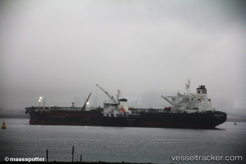
Vessel New Discovery IMO: 9269075, MMSI: 636019831 Crude Oil Tanker
UTC, 27.11127, 51.07470, course: 274, speed: 11.1
UTC, 27.11778, 50.82437, course: 272, speed: 11.4
2026-02-17 07:35:47 UTC, 27.10112, 50.37932, course: 225, speed: 10.6
Live AIS position:
UTC. 29 nm NE of Ras Tannurah),
updated 2026-02-17 07:35:47 UTC.
Find the position of the vessel New Discovery on the map. The latter are known coordinates and path.
marine traffic ship tracker show on live map
The current position of vessel New Discovery is 27.10112 lat / 50.37932 lng. Updated: 2026-02-17 07:35:47 UTCCurrently sailing under the flag of Liberia
Details:
Last coordinates of the vessel:
UTC, 27.10422, 51.54866, course: 274, speed: 11.2UTC, 27.11127, 51.07470, course: 274, speed: 11.1
UTC, 27.11778, 50.82437, course: 272, speed: 11.4
2026-02-17 07:35:47 UTC, 27.10112, 50.37932, course: 225, speed: 10.6