vessel '352986188' IMO: 9288083, vesseltracker.com
Vessel '352986188' IMO: 9288083,
MMSI: 352986188 callsign: size: x

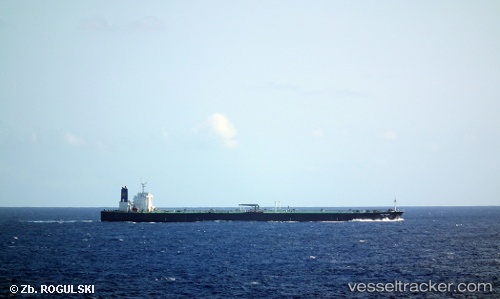
Find the position of the vessel '352986188' on the map. The latter are known coordinates and path.

marine traffic ship tracker show on live map

The current position of vessel '352986188' is -8.81333 lat / 75.395 lng. Updated: 2024-04-26 06:28:03 UTC
Payload_mass:
299031 tonne
Gross tonnage:
156973
Service entry:
2004-01-01T00:00:00Z
Details:


Last coordinates of the vessel:
UTC, -8.38333, 75.935, course: -1, speed: 11
UTC, -8.565, 75.6983, course: -1, speed: 11
UTC, -8.68833, 75.5467, course: -1, speed: 11
2024-04-26 06:28:03 UTC, -8.81333, 75.395, course: -1, speed: 11

Track of the vessel in the last 14 days


Most frequent ports a vessels calls at '352986188' (352986188):

Sambu, traffic: 5
Malacca, traffic: 3
Sabang, traffic: 2
Singapore, traffic: 2
Port Louis, traffic: 1

Link to the map:


Find another ship

'352986188' (352986188) last ports (portcalls and passsages)

Singapore | 2022-10-11 08:02:48
Malacca | 2022-10-08 07:41:22
Port Louis | 2022-09-22 04:20:30
Sambu | 2022-06-14 07:30:23
Malacca | 2022-06-09 22:27:54
Malacca | 2022-06-05 22:25:26
Singapore | 2022-01-23 09:38:34
Sambu | 2022-01-23 09:00:16
Sabang | 2022-01-11 13:24:30