 vesseltracker.com
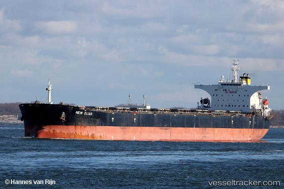
Vessel New Elias IMO: 9313400, MMSI: 372713000 Bulk Carrier
UTC, -16.21596, 151.41057, course: 6, speed: 11.8
UTC, -15.81184, 151.46994, course: 7, speed: 12
2026-02-15 20:17:22 UTC, -15.24601, 151.55087, course: 8, speed: 12
Live AIS position:
UTC. 233 nm N of Coral Sea),
updated 2026-02-15 20:17:22 UTC.
Find the position of the vessel New Elias on the map. The latter are known coordinates and path.
marine traffic ship tracker show on live map
The current position of vessel New Elias is -15.24601 lat / 151.55087 lng. Updated: 2026-02-15 20:17:22 UTCDetails:
Last coordinates of the vessel:
UTC, -16.53165, 151.36781, course: 5, speed: 12.1UTC, -16.21596, 151.41057, course: 6, speed: 11.8
UTC, -15.81184, 151.46994, course: 7, speed: 12
2026-02-15 20:17:22 UTC, -15.24601, 151.55087, course: 8, speed: 12