 vesseltracker.com
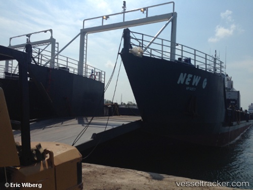
Vessel New G IMO: 9755103, MMSI: 373022000 Landing Craft
UTC, 25.07806, -77.32560, course: -1, speed: 0
UTC, 25.07809, -77.32555, course: -1, speed: 0
2026-02-15 20:00:29 UTC, 25.07807, -77.32560, course: -1, speed: 0
Live AIS position:
UTC. Near Nassau),
updated 2026-02-15 20:00:29 UTC.
Find the position of the vessel New G on the map. The latter are known coordinates and path.
marine traffic ship tracker show on live map
The current position of vessel New G is 25.07807 lat / -77.32560 lng. Updated: 2026-02-15 20:00:29 UTCDetails:
Last coordinates of the vessel:
UTC, 25.07771, -77.32570, course: -1, speed: 0UTC, 25.07806, -77.32560, course: -1, speed: 0
UTC, 25.07809, -77.32555, course: -1, speed: 0
2026-02-15 20:00:29 UTC, 25.07807, -77.32560, course: -1, speed: 0