 vesseltracker.com
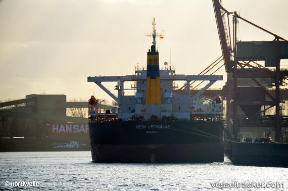
Vessel New Leonidas IMO: 9260641, MMSI: 636011789 Bulk Carrier
UTC, 43.33167, 136.36501, course: -1, speed: 10
UTC, 43.13333, 136.18167, course: -1, speed: 10
2026-02-15 13:20:07 UTC, 42.87500, 135.97333, course: -1, speed: 10
Live AIS position:
UTC. 60 nm SE of Ol'ga),
updated 2026-02-15 13:20:07 UTC.
Find the position of the vessel New Leonidas on the map. The latter are known coordinates and path.
marine traffic ship tracker show on live map
The current position of vessel New Leonidas is 42.87500 lat / 135.97333 lng. Updated: 2026-02-15 13:20:07 UTCCurrently sailing under the flag of Liberia
New Leonidas built in 2003 year
Deadweight:
170578 tDetails:
Last coordinates of the vessel:
UTC, 43.60667, 136.62500, course: -1, speed: 10UTC, 43.33167, 136.36501, course: -1, speed: 10
UTC, 43.13333, 136.18167, course: -1, speed: 10
2026-02-15 13:20:07 UTC, 42.87500, 135.97333, course: -1, speed: 10