 vesseltracker.com
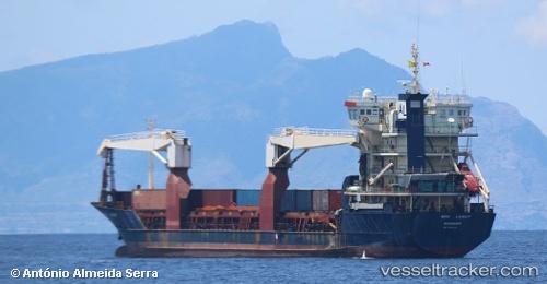
Vessel New Light IMO: 9046136, MMSI: 525015734 Multi Purpose Carrier
Live AIS position:
UTC. 171 nm W of Godhavn),
updated 2025-10-10 10:07:45 UTC.
Find the position of the vessel New Light on the map. The latter are known coordinates and path.
marine traffic ship tracker show on live map
The current position of vessel New Light is 69.04969 lat / -61.50773 lng. Updated: 2025-10-10 10:07:45 UTCDetails:
Last coordinates of the vessel:
2025-10-10 10:07:45 UTC, 69.04969, -61.50773, course: -1, speed: 0.7