 vesseltracker.com
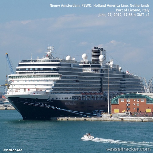
Vessel Nieuw Amsterdam IMO: 9378450, MMSI: 246648000 Cruise Ship
UTC, 30.81491, -120.16449, course: 72, speed: 15.3
UTC, 30.92246, -119.58697, course: 75, speed: 15.3
2026-02-13 07:47:13 UTC, 31.00053, -119.17078, course: 76, speed: 15.2
Live AIS position:
UTC. 132 nm W of Santo Tomas),
updated 2026-02-13 07:47:13 UTC.
Find the position of the vessel Nieuw Amsterdam on the map. The latter are known coordinates and path.
marine traffic ship tracker show on live map
The current position of vessel Nieuw Amsterdam is 31.00053 lat / -119.17078 lng. Updated: 2026-02-13 07:47:13 UTCCurrently sailing under the flag of Netherlands
Nieuw Amsterdam built in 2010 year
Deadweight:
8754 tDetails:
Last coordinates of the vessel:
UTC, 30.72364, -120.67534, course: 76, speed: 15.2UTC, 30.81491, -120.16449, course: 72, speed: 15.3
UTC, 30.92246, -119.58697, course: 75, speed: 15.3
2026-02-13 07:47:13 UTC, 31.00053, -119.17078, course: 76, speed: 15.2