 vesseltracker.com
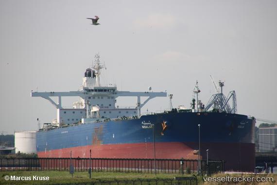
Vessel Nisalah IMO: 9484730, MMSI: 403536000 Crude Oil Tanker
UTC, 17.03427, 40.97674, course: 146, speed: 12
UTC, 17.03427, 40.97674, course: 146, speed: 12
2026-02-05 00:47:56 UTC, 17.03427, 40.97674, course: 146, speed: 12
Live AIS position:
UTC. 71 nm SW of Al Qahmah),
updated 2026-02-05 00:47:56 UTC.
Find the position of the vessel Nisalah on the map. The latter are known coordinates and path.
marine traffic ship tracker show on live map
The current position of vessel Nisalah is 17.03427 lat / 40.97674 lng. Updated: 2026-02-05 00:47:56 UTCCurrently sailing under the flag of Saudi Arabia
Nisalah built in 2010 year
Deadweight:
319287 tDetails:
Last coordinates of the vessel:
UTC, 17.25361, 40.82332, course: 144, speed: 13.1UTC, 17.03427, 40.97674, course: 146, speed: 12
UTC, 17.03427, 40.97674, course: 146, speed: 12
2026-02-05 00:47:56 UTC, 17.03427, 40.97674, course: 146, speed: 12