 vesseltracker.com
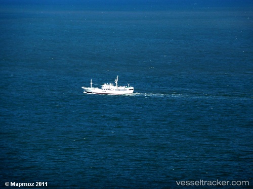
Vessel No.373 Oryong IMO: 9159139, MMSI: 441242000 Fishing Vessel
UTC, 7.56887, -18.58784, course: -1, speed: 3.8
UTC, 7.37561, -18.58623, course: -1, speed: 5
2026-02-08 23:38:54 UTC, 7.26572, -18.58325, course: -1, speed: 5.3
Live AIS position:
UTC. 291 nm SW of Bubaque),
updated 2026-02-08 23:38:54 UTC.
Find the position of the vessel No.373 Oryong on the map. The latter are known coordinates and path.
marine traffic ship tracker show on live map
The current position of vessel No.373 Oryong is 7.26572 lat / -18.58325 lng. Updated: 2026-02-08 23:38:54 UTCDetails:
Last coordinates of the vessel:
UTC, 7.66087, -18.59192, course: -1, speed: 4.9UTC, 7.56887, -18.58784, course: -1, speed: 3.8
UTC, 7.37561, -18.58623, course: -1, speed: 5
2026-02-08 23:38:54 UTC, 7.26572, -18.58325, course: -1, speed: 5.3