 vesseltracker.com
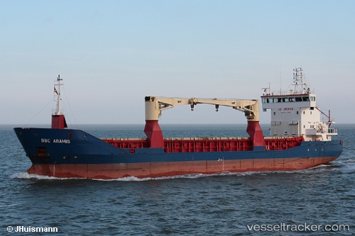
Vessel Noah Satu IMO: 9313620, MMSI: 525015960 Multi Purpose Carrier
Live AIS position:
UTC. 74 nm W of Qaanaaq),
updated 2025-11-30 06:16:45 UTC.
Find the position of the vessel Noah Satu on the map. The latter are known coordinates and path.
marine traffic ship tracker show on live map
The current position of vessel Noah Satu is 76.02889 lat / -73.77813 lng. Updated: 2025-11-30 06:16:45 UTCDetails:
Last coordinates of the vessel:
2025-11-30 06:16:45 UTC, 76.02889, -73.77813, course: 173, speed: 3.9