 vesseltracker.com
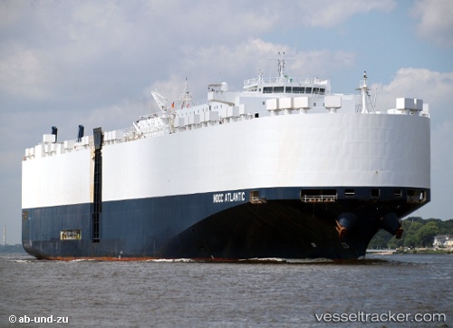
Vessel Nocc Atlantic IMO: 9430519, MMSI: 259976000 Vehicles Carrier
UTC, 16.52486, -141.76324, course: 266, speed: 16.9
UTC, 16.49651, -142.42496, course: 265, speed: 16.5
2026-02-08 17:32:47 UTC, 16.47887, -142.83075, course: 265, speed: 15.8
Live AIS position:
UTC. 214 nm NE of Santa Rita),
updated 2026-02-08 17:32:47 UTC.
Find the position of the vessel Nocc Atlantic on the map. The latter are known coordinates and path.
marine traffic ship tracker show on live map
The current position of vessel Nocc Atlantic is 16.47887 lat / -142.83075 lng. Updated: 2026-02-08 17:32:47 UTCCurrently sailing under the flag of Norway
Nocc Atlantic built in 2009 year
Deadweight:
22500 tDetails:
Last coordinates of the vessel:
UTC, 16.54396, -141.14105, course: 271, speed: 16.6UTC, 16.52486, -141.76324, course: 266, speed: 16.9
UTC, 16.49651, -142.42496, course: 265, speed: 16.5
2026-02-08 17:32:47 UTC, 16.47887, -142.83075, course: 265, speed: 15.8