 vesseltracker.com
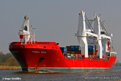
Vessel ELARA IMO: 9437323, MMSI: 636018554 General Cargo Ship
UTC, 43.36034, -8.38987, course: 296, speed: 0
UTC, 43.36033, -8.38985, course: 297, speed: 0
2026-02-11 15:29:59 UTC, 43.36035, -8.38987, course: 296, speed: 0.2
Live AIS position:
UTC. Near La Coruna ),
updated 2026-02-11 15:29:59 UTC.
Find the position of the vessel ELARA on the map. The latter are known coordinates and path.
marine traffic ship tracker show on live map
The current position of vessel ELARA is 43.36035 lat / -8.38987 lng. Updated: 2026-02-11 15:29:59 UTCCurrently sailing under the flag of Liberia
ELARA built in 2010 year
Deadweight:
16543 tDetails:
Last coordinates of the vessel:
UTC, 43.36035, -8.38992, course: 297, speed: 0UTC, 43.36034, -8.38987, course: 296, speed: 0
UTC, 43.36033, -8.38985, course: 297, speed: 0
2026-02-11 15:29:59 UTC, 43.36035, -8.38987, course: 296, speed: 0.2