 vesseltracker.com
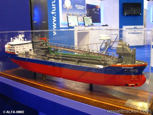
Vessel Nordnes IMO: 9229910, MMSI: 244962000 Pipe Burying Vessel
UTC, 54.81116, 10.84618, course: 177, speed: 13.8
UTC, 54.51071, 11.42768, course: 116, speed: 12.6
2026-02-12 10:23:34 UTC, 54.46546, 12.24015, course: 20, speed: 12.4
Live AIS position:
UTC. 11 nm NW of Dierhagen),
updated 2026-02-12 10:23:34 UTC.
Find the position of the vessel Nordnes on the map. The latter are known coordinates and path.
marine traffic ship tracker show on live map
The current position of vessel Nordnes is 54.46546 lat / 12.24015 lng. Updated: 2026-02-12 10:23:34 UTCCurrently sailing under the flag of Netherlands
Nordnes built in 2001 year
Deadweight:
25063 tDetails:
Last coordinates of the vessel:
UTC, 55.39570, 10.99993, course: 144, speed: 13.6UTC, 54.81116, 10.84618, course: 177, speed: 13.8
UTC, 54.51071, 11.42768, course: 116, speed: 12.6
2026-02-12 10:23:34 UTC, 54.46546, 12.24015, course: 20, speed: 12.4