 vesseltracker.com
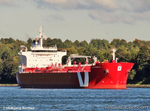
Vessel Noreaster IMO: 9350642, MMSI: 538002783 Chemical Oil Products Tanker
UTC, 44.27594, -68.97079, course: 24, speed: 12.7
UTC, 44.45085, -68.89779, course: 344, speed: 0.7
2026-02-12 11:45:25 UTC, 44.45085, -68.89779, course: 344, speed: 0.7
Live AIS position:
UTC. Near Searsport),
updated 2026-02-12 11:45:25 UTC.
Find the position of the vessel Noreaster on the map. The latter are known coordinates and path.
marine traffic ship tracker show on live map
The current position of vessel Noreaster is 44.45085 lat / -68.89779 lng. Updated: 2026-02-12 11:45:25 UTCCurrently sailing under the flag of Marshall Is
Noreaster built in 2007 year
Deadweight:
37412 tDetails:
Last coordinates of the vessel:
UTC, 43.92653, -68.77723, course: 273, speed: 10.9UTC, 44.27594, -68.97079, course: 24, speed: 12.7
UTC, 44.45085, -68.89779, course: 344, speed: 0.7
2026-02-12 11:45:25 UTC, 44.45085, -68.89779, course: 344, speed: 0.7