 vesseltracker.com
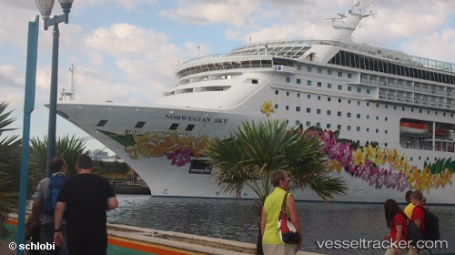
Vessel Norwegian Sky IMO: 9128532, MMSI: 308865000 Cruise Ship
UTC, 17.14456, -61.91087, course: 110, speed: 9.2
UTC, 17.12150, -61.84764, course: 90, speed: 0
2026-02-13 13:41:15 UTC, 17.12150, -61.84765, course: 90, speed: 0
Live AIS position:
UTC. Near Saint John's),
updated 2026-02-13 13:41:15 UTC.
Find the position of the vessel Norwegian Sky on the map. The latter are known coordinates and path.
marine traffic ship tracker show on live map
The current position of vessel Norwegian Sky is 17.12150 lat / -61.84765 lng. Updated: 2026-02-13 13:41:15 UTCDetails:
Last coordinates of the vessel:
UTC, 17.09957, -62.13364, course: 42, speed: 7.1UTC, 17.14456, -61.91087, course: 110, speed: 9.2
UTC, 17.12150, -61.84764, course: 90, speed: 0
2026-02-13 13:41:15 UTC, 17.12150, -61.84765, course: 90, speed: 0