 vesseltracker.com
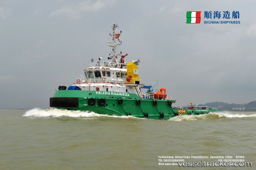
Vessel Nyangumi 2 IMO: 9796030, MMSI: 577328000 Tug
UTC, 6.68319, 107.40367, course: -1, speed: 12.8
UTC, 6.68319, 107.40367, course: -1, speed: 12.8
2026-03-09 12:56:01 UTC, 6.68319, 107.40367, course: -1, speed: 12.8
Live Vessel Nyangumi 2 Analytics (details, animations, etc.)
Live AIS position: UTC. 47 nm E of Leuwiliang), updated 2026-03-09 12:56:01 UTC.Find the position of the vessel Nyangumi 2 on the map. The latter are known coordinates and path.
marine traffic ship tracker show on live map
The current position of vessel Nyangumi 2 is 6.68319 lat / 107.40367 lng. Updated: 2026-03-09 12:56:01 UTCDetails:
Last coordinates of the vessel:
UTC, 6.89100, 107.54774, course: 226, speed: 12.5UTC, 6.68319, 107.40367, course: -1, speed: 12.8
UTC, 6.68319, 107.40367, course: -1, speed: 12.8
2026-03-09 12:56:01 UTC, 6.68319, 107.40367, course: -1, speed: 12.8