 vesseltracker.com
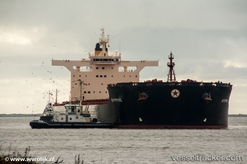
Vessel GH HELM IMO: 9438781, MMSI: 310855000 Bulk Carrier
UTC, -20.57905, 117.20005, course: 48, speed: 0
UTC, -20.47655, 117.29549, course: 85, speed: 11.5
2026-03-09 20:11:00 UTC, -20.29257, 117.26018, course: 291, speed: 9.6
Live Vessel GH HELM Analytics (details, animations, etc.)
Live AIS position: UTC. 15 nm N of Port Walcot), updated 2026-03-09 20:11:00 UTC.Find the position of the vessel GH HELM on the map. The latter are known coordinates and path.
marine traffic ship tracker show on live map
The current position of vessel GH HELM is -20.29257 lat / 117.26018 lng. Updated: 2026-03-09 20:11:00 UTCCurrently sailing under the flag of Bermuda
Details:
Last coordinates of the vessel:
UTC, -20.57905, 117.20008, course: 48, speed: 0UTC, -20.57905, 117.20005, course: 48, speed: 0
UTC, -20.47655, 117.29549, course: 85, speed: 11.5
2026-03-09 20:11:00 UTC, -20.29257, 117.26018, course: 291, speed: 9.6