 vesseltracker.com
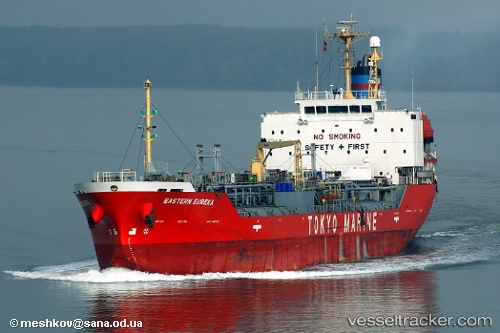
Vessel ORIENTAL LINKS IMO: 9205653, MMSI: 341471000 Chemical/Oil Products Tanker
Live AIS position:
UTC. 120 nm E of Bechar),
updated 2025-09-05 15:51:07 UTC.
Find the position of the vessel ORIENTAL LINKS on the map. The latter are known coordinates and path.
marine traffic ship tracker show on live map
The current position of vessel ORIENTAL LINKS is 31.56916 lat / 0.12659 lng. Updated: 2025-09-05 15:51:07 UTCCurrently sailing under the flag of St.Kitts and Nevis
ORIENTAL LINKS built in 1999 year
Deadweight:
8762 tDetails:
Last coordinates of the vessel:
2025-09-05 15:51:07 UTC, 31.56916, 0.12659, course: -1, speed: 0