 vesseltracker.com
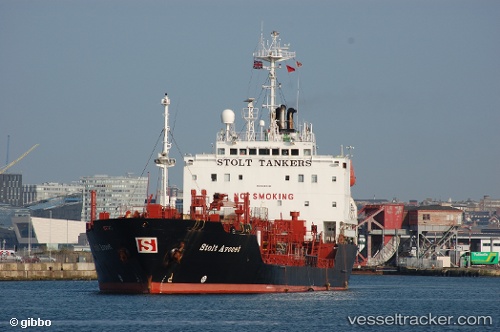
Vessel ORIS IMO: 9004310, MMSI: 671388100 Chemical Oil Products Tanker
UTC, 58.25702, 166.58067, course: 212, speed: 10.3
UTC, 57.93333, 166.15500, course: -1, speed: 9
2026-02-05 01:38:10 UTC, 57.68539, 165.83167, course: 208, speed: 9.5
Live AIS position:
UTC. 127 nm SE of Ossora),
updated 2026-02-05 01:38:10 UTC.
Find the position of the vessel ORIS on the map. The latter are known coordinates and path.
marine traffic ship tracker show on live map
The current position of vessel ORIS is 57.68539 lat / 165.83167 lng. Updated: 2026-02-05 01:38:10 UTCCurrently sailing under the flag of Togo
Details:
Last coordinates of the vessel:
UTC, 58.47172, 166.86682, course: 213, speed: 10.5UTC, 58.25702, 166.58067, course: 212, speed: 10.3
UTC, 57.93333, 166.15500, course: -1, speed: 9
2026-02-05 01:38:10 UTC, 57.68539, 165.83167, course: 208, speed: 9.5