vessel Ocean Legend IMO: 8912871, Multi Purpose Carrier
vesseltracker.com
Vessel Ocean Legend IMO: 8912871, Multi Purpose Carrier
MMSI: 548174500 callsign: DUA3517 size: 18x98

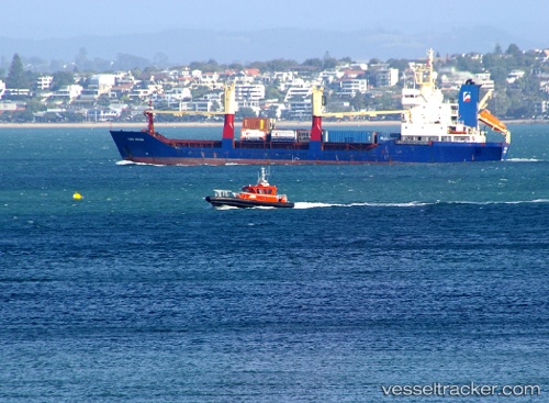
Find the position of the vessel Ocean Legend on the map. The latter are known coordinates and path.

marine traffic ship tracker show on live map

The current position of vessel Ocean Legend is 6.07102 lat / 125.159 lng. Updated: 2024-04-24 08:36:10 UTC
Payload_mass:
4152 tonne
Gross tonnage:
3972
Service entry:
1993-01-01T00:00:00Z
Details:


Last coordinates of the vessel:
UTC, 6.07107, 125.159, course: -1, speed: 0.1
UTC, 6.071, 125.159, course: -1, speed: 0.1
UTC, 6.07102, 125.159, course: -1, speed: 0.1
2024-04-24 08:36:10 UTC, 6.07102, 125.159, course: -1, speed: 0.1

Track of the vessel in the last 14 days


Most frequent ports a vessels calls at Ocean Legend (548174500):

General Santos City, traffic: 6

Link to the map:


Find another ship

Ocean_Legend (548174500) last ports (portcalls and passsages)

General Santos City | 2024-04-23 11:23:33
General Santos City | 2024-04-19 10:13:15
General Santos City | 2024-04-15 09:36:50
General Santos City | 2024-04-11 09:15:28
General Santos City | 2024-04-07 08:55:53
General Santos City | 2024-04-03 08:21:49