 vesseltracker.com
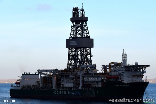
Vessel Ocean Rig Skyros IMO: 9632545, MMSI: 538005021 Drilling Ship
UTC, 4.85230, -4.69917, course: 260, speed: 0.1
UTC, 4.85203, -4.69914, course: 260, speed: 0.2
2026-01-27 04:00:30 UTC, 4.85205, -4.69918, course: 260, speed: 0.3
Live AIS position:
UTC. 11 nm SW of Baobab Terminal),
updated 2026-01-27 04:00:30 UTC.
Find the position of the vessel Ocean Rig Skyros on the map. The latter are known coordinates and path.
marine traffic ship tracker show on live map
The current position of vessel Ocean Rig Skyros is 4.85205 lat / -4.69918 lng. Updated: 2026-01-27 04:00:30 UTCCurrently sailing under the flag of Marshall Is
Ocean Rig Skyros built in 2013 year
Deadweight:
60130 tDetails:
Last coordinates of the vessel:
UTC, 4.85236, -4.69920, course: 260, speed: 0UTC, 4.85230, -4.69917, course: 260, speed: 0.1
UTC, 4.85203, -4.69914, course: 260, speed: 0.2
2026-01-27 04:00:30 UTC, 4.85205, -4.69918, course: 260, speed: 0.3